Cedar Ridge
Active Member
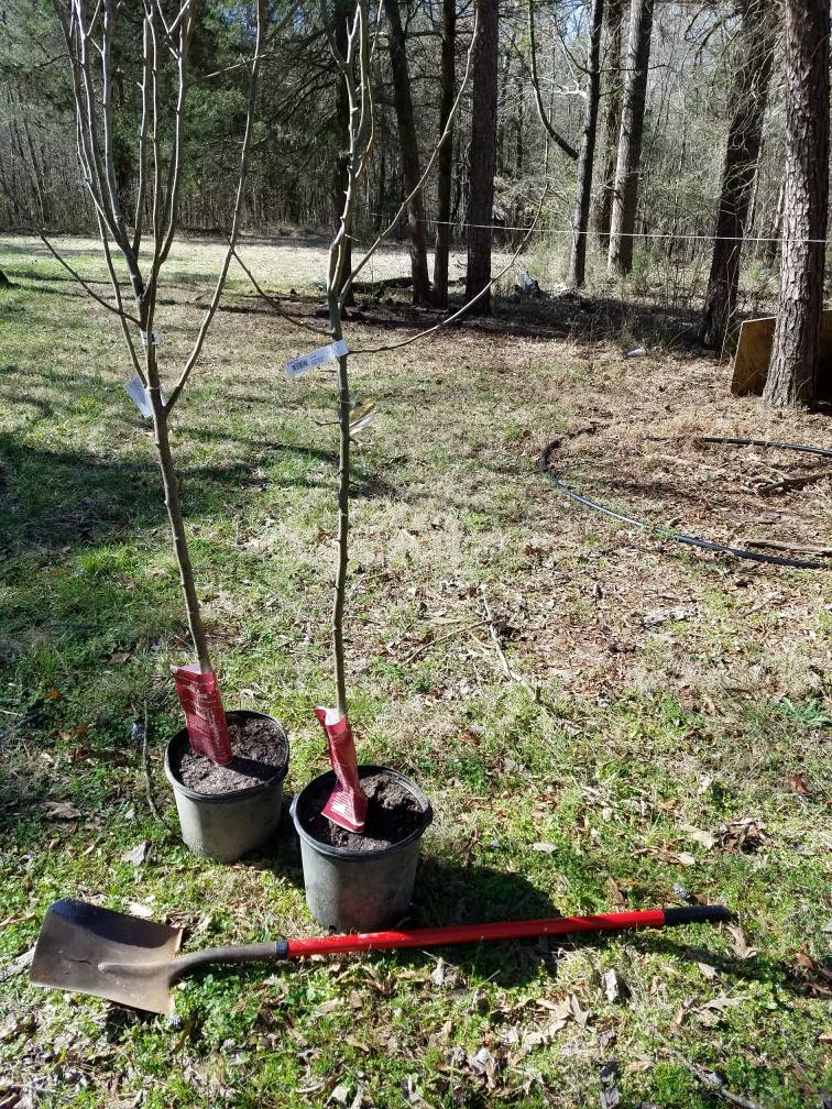
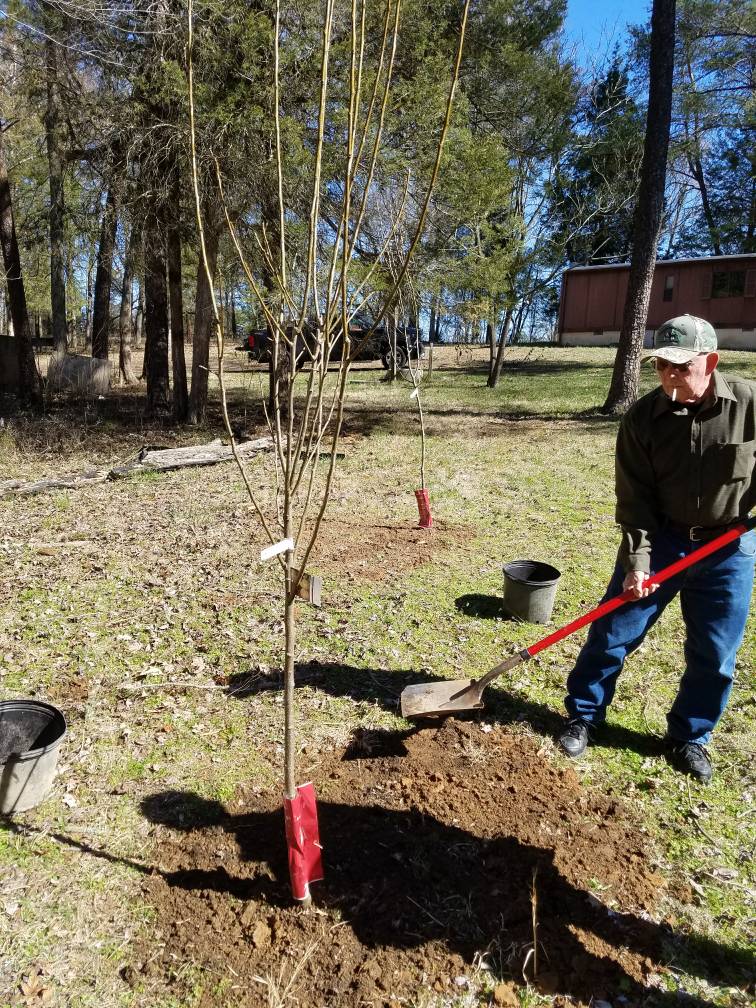
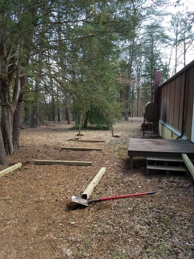
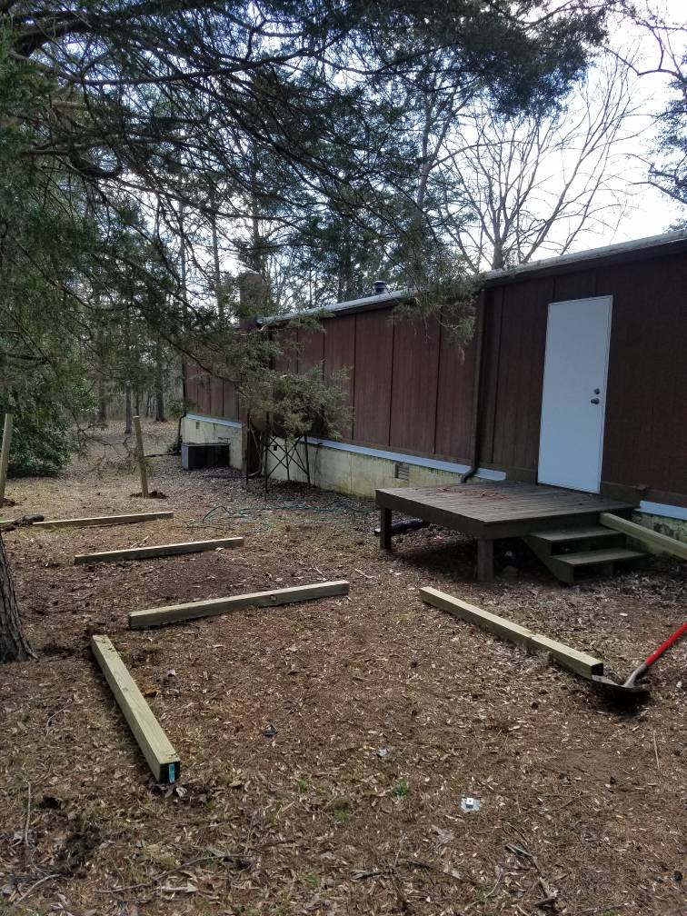
Congrats on the land purchase!


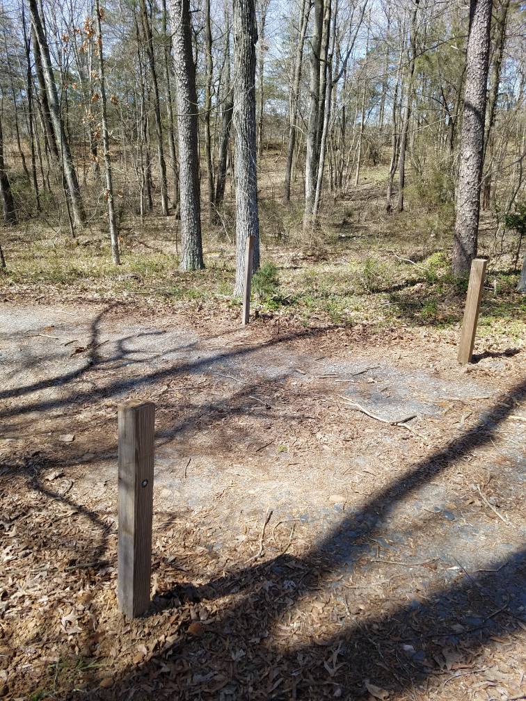
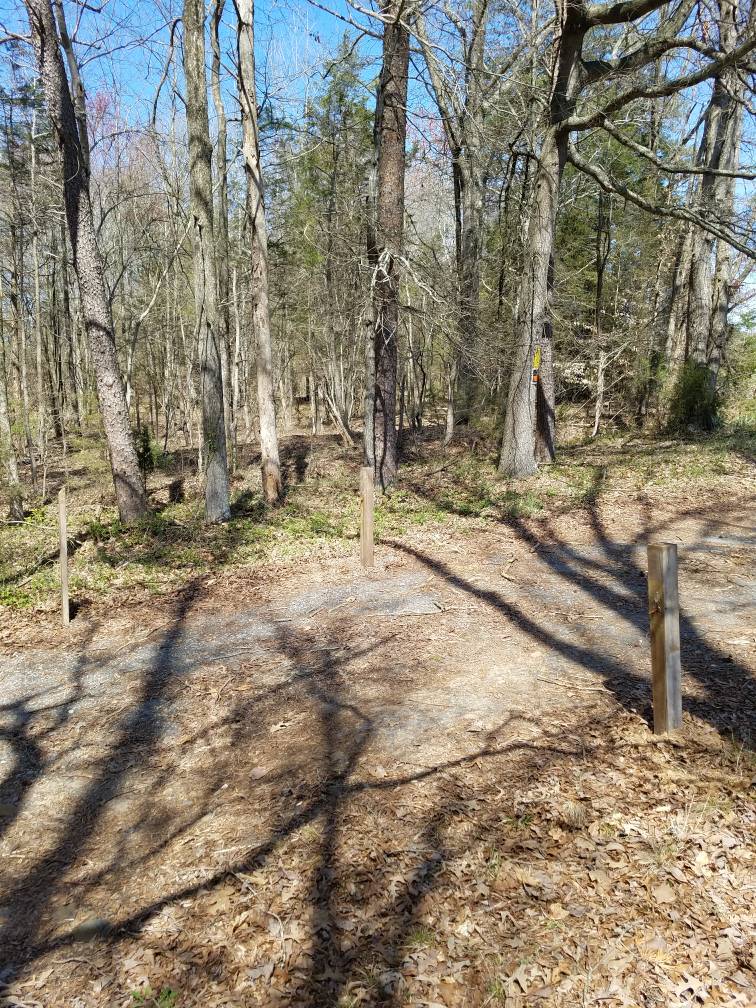
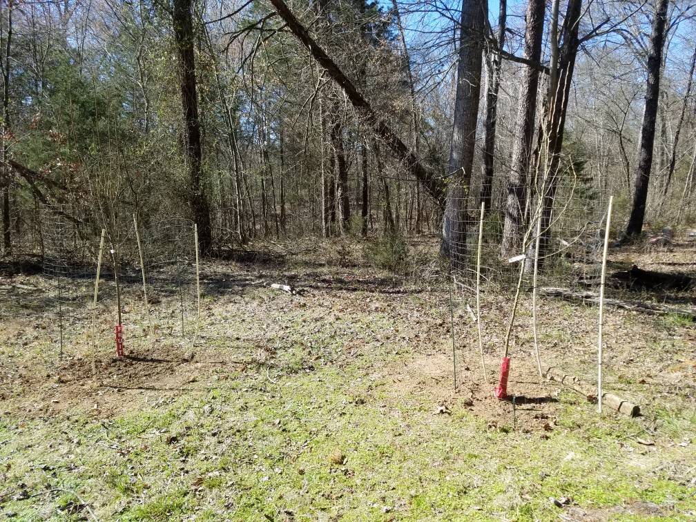
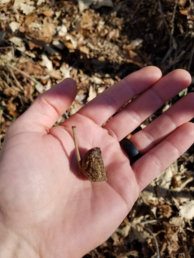
Most places, Home Depot, Tractor supply, etc have replacement posts.Forgot to post this yesterday but here is my first tool casualty from working out on the new place. Got to get me a new set since I still have a few more posts to put in the ground.
View attachment 11477