Spray Field 40

Hi everyone! I recently joined the forum and was encouraged to start a property tour thread. I can't wait to share my work on the property and appreciate any input you might have.

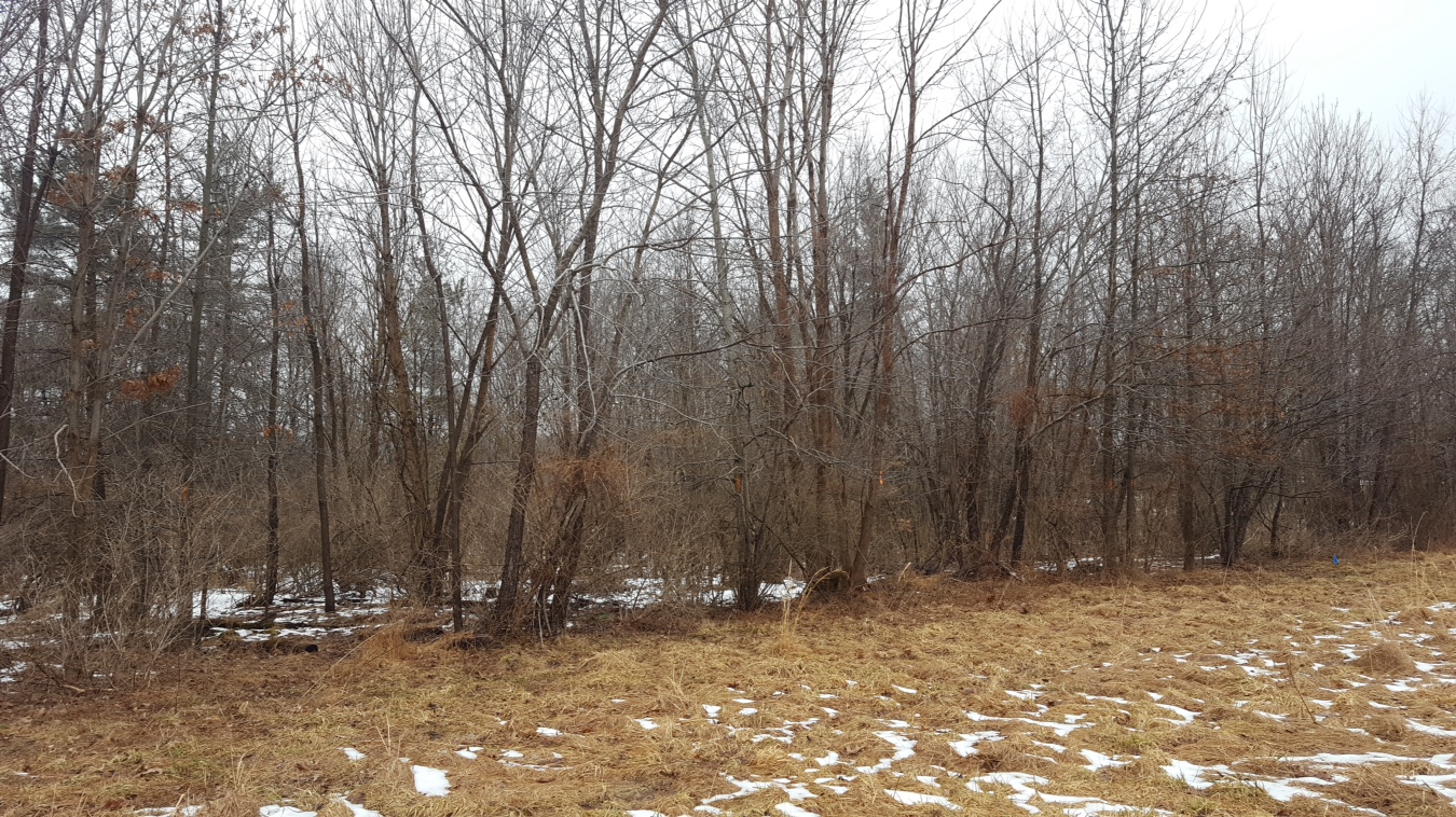
I closed on my first property (37 acres) in South Central PA in December of 2017. It was previously owned by the adjacent township and the field on the property was used as a spray field to re-introduce treated water to the environment. This seems like a pretty unique situation so I'm looking forward to sharing what I learn along the way.

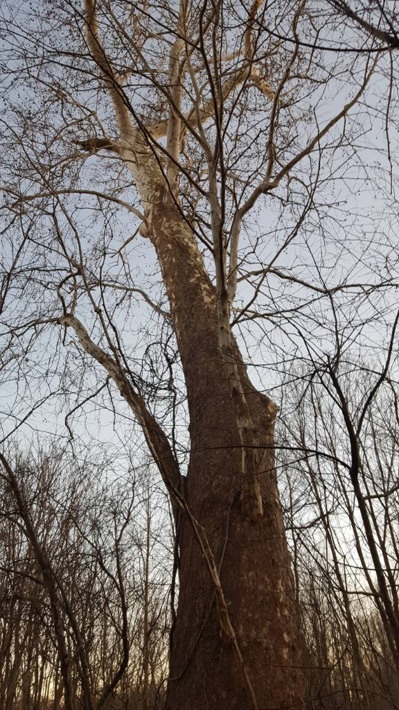
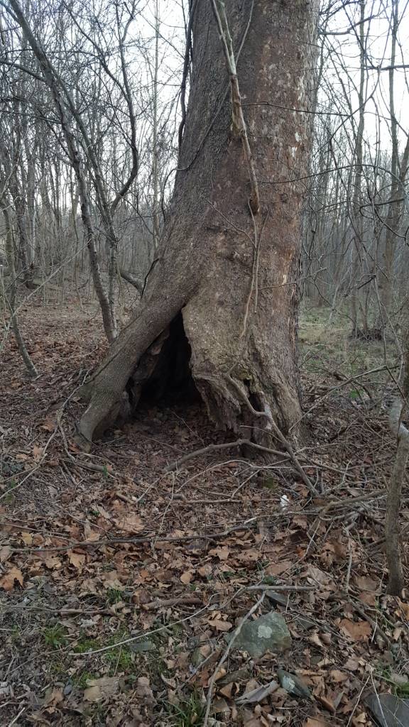
From a habitat perspective, I decided not to start making any improvements until I hunted the place for a year to understand how the deer use the property. After the 2018 season I feel like I have a much better understanding of how I can improve the habitat while maintaining the natural patterns of the deer as much as possible. During the 2018 season, I was able to lay eyes on a very mature buck for this area multiple times and on one evening in early November was able to grunt him in to 30 yards, but did not have a shot. I did end up shooting a nice buck (guessing 2 year old) during rifle season and I believe the big buck is still alive.

My goal for this property is to be able to take a 3+ year old buck every year. This might sound like a tall order in my heavily pressured area of PA, but I do have relatively low pressure on every property surrounding my piece and I am lucky to have a lot of cover already in place. So, I think it can be possible with some work.

Before I jump into specific details I will get some maps uploaded to give you an idea of the lay of the land. I'm looking forward to sharing my progress and look forward to hearing from you. Thanks.
 
Here is an aerial map. I'm also trying to upload a 2' aerial map the NRCS gave me but it doesn't seem to want to work. Has anyone had issues with uploading pictures via phone or iPad?
property_orrtanna.JPG

Ortanna_Property_Natural_Features.jpg
 
Last edited:
I’ll second Okie on using Tapatalk for posting pics. It’s easy to work with and painless.

Glad to see you got the tour up and going. You will get some great advice from this crew from trees to plots and everything in between.


Sent from my iPhone using Tapatalk
 
Here's the 2' topo map. This land can be separated into basically 3 different terrain types.

1ca3d45f85ef91fe2a6b82ee9c914069.jpg


The first is the "upland" woods on the north side of the property. I call it upland because it has higher elevation than the rest of the wooded area, but it still has a small creek drainage running through it. On the topo you can see it has a high spot running the length of this section of woods that seems to be a great travel corridor. Looking at the aerial, you can see several green areas. These are bush and Japanese honeysuckle thickets that are doe bedding areas. Along with the honeysuckle, the upland woods also contain mostly cherry, elm, and ash. There are also some pin oaks growing sporadically. On the map you can see a line of pine trees that are near the northern property border.

The next habitat type is the field/s. The eastern portion of the property is open field that was a row crop field as well as an apple orchard back in the day before it was converted to a spray field. I should mention I am located in apple country and am located in one of the highest apple producing counties in the country. The field consists mostly of fescue and canary grass, mixed with some other grasses and a few weeds. The topograpjy is rolling, with two primary drainages running east to west. If you look closely on the aerial, you can see where the network of pipes and spray heads used to be. All the pipes and spray heads were dug up and backfilled poorly before I bought the property. Because of this, there are some mounds and ditches in the field that make it pretty rugged currently. This was briefly discussed in the other thread I started, and I am currently planning on talking to a farmer about future plans with the field.

The final habitat type is the creek bottom located in the western-most portion of the property. The transition from the field to the creek bottom is about an 8' immediate drop off that abruptly changes to extremely wet swampy bottom. This area is somewhat diverse. There are multiple thickets that include gray dogwood, multiflora rose, Japanese honeysuckle, and privet. There are multiple waterways that travel toward the creek to the West. One such waterway is on the North-East side of the creek bottom. It is covered in Reed Canary Grass and is wide open. Outside of the thickets, there are many young trees and saplings growing throughout. I have not been able to identify everything since there are so many different types of young trees growing. Interestingly enough, I was able to find a couple stands of pin oaks in the creek bottom as well as an extremely large mature red oak growing near the creek. Finally, the Southwestern-most portion of this habitat along the creek is a mature stand of beech trees that are wide open.

I know this was a lot of information so I have uploaded a picture with labels and a legend to help you visualize.

Sent from my SAMSUNG-SM-G890A using Tapatalk
 
Last edited:
You've done a great job of presenting and describing your land. If I may, a couple suggestions for doing it a little more effectively?

Annotate your first map with some indication - a key - that connects your great descriptions to the areas you are discussing. Maybe something as simple as writing the number (1) on the map and then the same in the appropriate section of your description. Seems like a little thing, but I spent some time going back and forth trying to understand where you were on the map as I read your narrative.

I may be too presumptive, but the two foot contour map will probably confuse most of us. And, if it doesn't, it would be helpful to have contour labels at 10 or 20 foot intervals. I know, I know only too well - NRCS. If they can do two-foot contours, ask them if they can give you a hillshade map of your property!

And then the last thing - one of my little missions in life is to get a bigger picture of the land around a specific area of interest. As you know, deer don't respect property boundaries! But, great job so far! Your joy and pride shine in your presentation!
 
Looks like a nice place with a lot of potential. One thing that sticks out is how wide open your east field is and the fact there is no cover along your eastern boundary. I would consider developing a 20-40 foot wide corridor along the eastern boundary of shrubs, trees and tall grasses.

This would screen the field if you do plots or ag. Making the deer more secure. Also this can provide cover for access along the property lines.
 
You've done a great job of presenting and describing your land. If I may, a couple suggestions for doing it a little more effectively?

Annotate your first map with some indication - a key - that connects your great descriptions to the areas you are discussing. Maybe something as simple as writing the number (1) on the map and then the same in the appropriate section of your description. Seems like a little thing, but I spent some time going back and forth trying to understand where you were on the map as I read your narrative.

I may be too presumptive, but the two foot contour map will probably confuse most of us. And, if it doesn't, it would be helpful to have contour labels at 10 or 20 foot intervals. I know, I know only too well - NRCS. If they can do two-foot contours, ask them if they can give you a hillshade map of your property!

And then the last thing - one of my little missions in life is to get a bigger picture of the land around a specific area of interest. As you know, deer don't respect property boundaries! But, great job so far! Your joy and pride shine in your presentation!


Thank you for the kind words, X-farmerdan. I appreciate your suggestions. I have added a map with labels and a key to help people visualize the descriptions. I can add a more coarse topo map, but unfortunately it doesn't catch the details of the topography very well since the total elevation change of this land is only 30'. Finally, I will add a more zoomed out picture to help show the surrounding area. Thanks again!
 
Looks like a nice place with a lot of potential. One thing that sticks out is how wide open your east field is and the fact there is no cover along your eastern boundary. I would consider developing a 20-40 foot wide corridor along the eastern boundary of shrubs, trees and tall grasses.

This would screen the field if you do plots or ag. Making the deer more secure. Also this can provide cover for access along the property lines.

Hi Heart Shot. I agree with you 100%. I plan to start to address this in the Spring by continuing the evergreen screen along the Eastern boundary with Norway Spruce. I currently have seedlings on order from the MDC. Once I get the seedlings growing I will look at add further screening. Thanks for the suggestion.
 
Here are some pics to compliment the maps:

Standing in the spray field against the Northern woods. Facing Southwest toward drainage 2
2af9b6293738bb17bade90986dc1f197.jpg


Standing in the spray field against the Northern woods. Facing West toward drainage 1
8ac7310271ed58a0c75bf752beac9641.jpg


Standing in the spray field against the Northern woods. Facing North.
1dbbbaa41bf5f9fd3a5ad5d1f07ac7d0.jpg


Standing in the creek bottom against the creek. This is the widest and deepest hole in the creek. On the map you can pick it out because it takes a hard right hand turn going from N to S. Facing ~North.
f4237481e399154c03e7b2d5ad5f3f61.jpg


Here is another pic along the creek bottom near the creek. There are some very thick areas.
34b8219aa4ac30687963685008dbd319.jpg


Pic of the creek at the far NW corner of the property. Facing South. Just along the creek is mostly mature trees, but things quickly get thick as you go away from the creek.
2a024e8b1eac82a372b0eb2702a459f0.jpg


This is the thicket on the NW corner of the property, about 30 yards off the creek.
c1f85d29a8cb778eb11104df120739e9.jpg


Sent from my iPad using Tapatalk
 
Here are some pics of the waterway on the NE side of the creek bottom. This is just off of the NW inside corner of the field. As you can see it is extremely mucky plans covered in Reed Canary Grass.
3a56ba23984acc7c73dd285f333fca4d.jpg
d5e83cfc4ec2954b381ed642ae2d0143.jpg


Sent from my SAMSUNG-SM-G890A using Tapatalk
 
I found this huge sycamore in the creek bottom the other day. It has a hollowed out bottom. Looks pretty cool but I don't want to be near when it comes down.
b37614acefffd336ce18b23de6a41f74.jpg
d07bb69b0026c9912b145679e6c0a48e.jpg


Sent from my SAMSUNG-SM-G890A using Tapatalk
 
I like it, you’ve got a lot going for you already. I think with a bit of management and a solid game plan you’ve got the best years of hunting ahead of you.

Is your area surrounded by Ag fields? If so what is the primary crop?

What trees are you considering for long term food source, fruit, oaks or maybe persimmon?


Sampson


Sent from my iPhone using Tapatalk
 
Your presentation of your property Hob 'n Grind is excellent. As Sampson said the property has a lot going for it already. Is that a wild apple tree that you are trimming around in the picture? The abundance of the honeysuckle bush which I think is shown on your field edge is not a good habitat sign around here. Here it means there have been too many deer for too long and the brush habitat needs a large overhaul. Where you are it could mean that or maybe the honeysuckle bush plant just likes your soil and climate better than what we have here for it. In any case if your property has it, then likely the properties around you do as well.Yes they bed around that bush but it isn't worth it's space overall. Your seeing many different types of bushes is an excellent indicator though that the habitat is still partially intact and can be brought back to perfection "easily" . Love all that water you have. Congratulations on your purchase; it will give you a lot of enjoyment over the years.

And that sycamore is a real beauty; while I wouldn't choose to use it as cover in a wind storm it could surprise everyone and last for many, many years like that.
 
I like it, you’ve got a lot going for you already. I think with a bit of management and a solid game plan you’ve got the best years of hunting ahead of you.

Is your area surrounded by Ag fields? If so what is the primary crop?

What trees are you considering for long term food source, fruit, oaks or maybe persimmon?


Sampson


Sent from my iPhone using Tapatalk

Hey Sampson,

Here is a zoomed out pic of the property. There are many large ag food sources near by. As I said in an earlier post, I'm located in a major apple producing county. So you can see that there are apple orchards all around me. There are also several corn / bean fields in the area. One interesting feature is I'm located just to the East of the mountains. I have this labeled on the map. Another notable feature is there is a fruit processing plant located just West of my property. They are actually the ones who own land just across the creek to the West of me.

For a long term food source, persimmons have definitely peaked my interest. I have only ever seen one persimmon tree in this county, although I'll admit I haven't looked all that hard. I think most people here may not know what a persimmon is. I read some threads on here about the drawing power of persimmons and it seems like a no brainer. I do have the opportunity to buy some seedlings for just over $1 per tree this spring. I'll admit I don't know whether that is a good deal or not. I am also interested in the possibilities with chestnuts, chinkapin oaks, and pears.

I really question how well planting apple trees would do when I'm surrounded by apples. Of course, these orchards are not planting waves of crab apples so perhaps they could be used? I'm interested to hear anyone's experience or thoughts on this.

Thanks

Property_zoomed_out.JPG
 
Your presentation of your property Hob 'n Grind is excellent. As Sampson said the property has a lot going for it already. Is that a wild apple tree that you are trimming around in the picture? The abundance of the honeysuckle bush which I think is shown on your field edge is not a good habitat sign around here. Here it means there have been too many deer for too long and the brush habitat needs a large overhaul. Where you are it could mean that or maybe the honeysuckle bush plant just likes your soil and climate better than what we have here for it. In any case if your property has it, then likely the properties around you do as well.Yes they bed around that bush but it isn't worth it's space overall. Your seeing many different types of bushes is an excellent indicator though that the habitat is still partially intact and can be brought back to perfection "easily" . Love all that water you have. Congratulations on your purchase; it will give you a lot of enjoyment over the years.

And that sycamore is a real beauty; while I wouldn't choose to use it as cover in a wind storm it could surprise everyone and last for many, many years like that.

Hi Chainsaw. To be honest, I have no idea what kind of tree that is in the picture haha. I was actually cutting trails in that picture. One observation I made last season was the deer are extensively travelling in the creek bottom, but without defined movement past areas I could access and set up on easily / without detection. So I have spent a lot of time this winter cutting trails to encourage them to walk past my ambush locations.

With regards to the bush honeysuckle, I became aware of this scourge through browsing on this forum and did a bunch of research online. I learned how to identify it and realized I had to address the problem asap. Thankfully, the bush honeysuckle is mostly isolated to my Northern woodlot, where the picture was taken. I have spent a lot of time cutting / spraying stumps, and pulling seedlings. I've made a lot of progress but there is still work to do. Interestingly enough, I have a lot of Japanese honeysuckle in that woodlot and it seems to be helping keep the bush honeysuckle at bay. I found several bushes that were wrapped up and choked out by the JH.

In addition to the BH, I also have several other invasives including Japanese honeysuckle, multi-flora rose, privet, and wild grape vine. Should I also be as concerned about these as I am with the BH?

Thanks
 
We don't have Japanese honeysuckle here or privet but have at times been tempted to plant honeysuckle vine for its winter browse characteristic, just can't seem to get past that it is not native here and simply don't know whether it would fight with our wild apple trees and win. There are wild grapevines here and we keep them around as the deer eat them but they do have to be trimmed down off of apple and cherry trees--no biggie once we got it all done once. Multi Flora Rose(MFR) is a bad one here. It took about twenty-five years to go beyond one plant but then it spread quickly. MFR gets minimum if any browsing thru winter and spring here and is extremely difficult to impossible to walk thru a mature plant or a bunch of mature plants. It is public enemy no. 1 here along with prickly ash and honeysuckle bush which also was only one known plant for 25 years before it took off and multiplied. We do have an enormous amount of buckthorn to deal with; it isn't all bad in moderation but it s a problem for how much of it is here. We could likely eliminate all MFR, honeysuckle bush and prickly ash from our landscape but don't see it ever happening with buckthorn.

I hope you get a bunch of surprises in the form of service berry and apple and pear trees come spring blossom time.
 
Your creek bottom reminds me a lot of my place, which makes me think we can probably benefit from each others' successes and failures regarding bottomland habitat improvements. Based on the zoomed out imagery it looks like you've got quite a natural travel corridor along that creek! I bet during the rut you'll have deer coming from a few miles away.
 
Your creek bottom reminds me a lot of my place, which makes me think we can probably benefit from each others' successes and failures regarding bottomland habitat improvements. Based on the zoomed out imagery it looks like you've got quite a natural travel corridor along that creek! I bet during the rut you'll have deer coming from a few miles away.
Hey Pinetag. I just started reading your property tour and was thinking the same thing as you. I definitely see how we could benefit from watching how things work out on each of our properties. I'll keep reading up on yours.

Now that I have a nice corridor cut along the creek I plan to keep a camera on that trail all November to see what shows up. Should be interesting!

Sent from my SAMSUNG-SM-G890A using Tapatalk
 
Here is my existing plan for the wooded area of the property. A lot of the trail cutting and some of the hinge cutting has already taken place this winter. Basically I have planned trails to pass between thickets (bedding areas) and trails to head from bedding areas to the field drainages, where the deer already feel comfortable entering the field.

I have stand sites set up to intercept bucks traveling on these routes. Many of the stand sites are along the creek to allow for easy access from the creek. These spots look to be awesome for the rut, but the only issue is that the predominant wind in this area is from the West. While we do have occasional East winds in October and November, these stand sites are going to be more limited in use. It's not the end of the world since I don't want to overpressure these stands seeing as they are so close to bedding areas. Currently the best viable stand location for a West wind is the one located on the NW inside corner of the field.

Because I believe the area that requires the most improvement is the field, I'm going to focus more on asking for help and suggestions for the field. But, I wanted to share this so you can have a better understanding of how the field and woods interact. Before I focus more on the field, any suggestions on the layout of the wooded area?

Thanks

creek_trails_property.JPG
 
Back
Top