pinetag
Well-Known Member
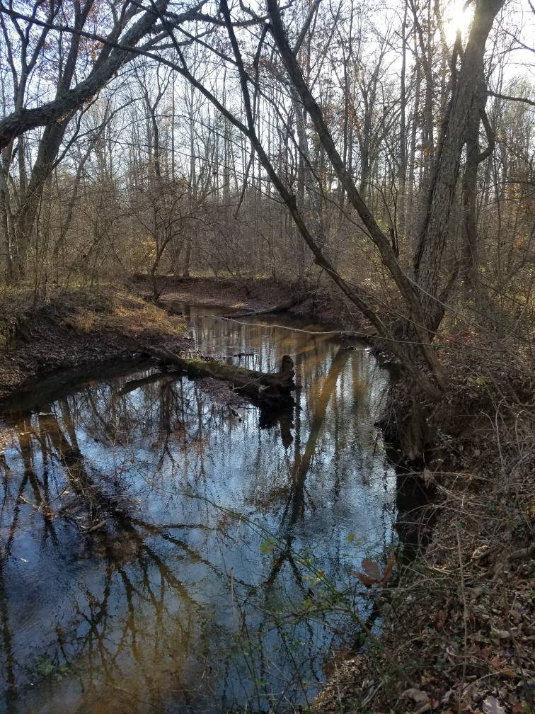
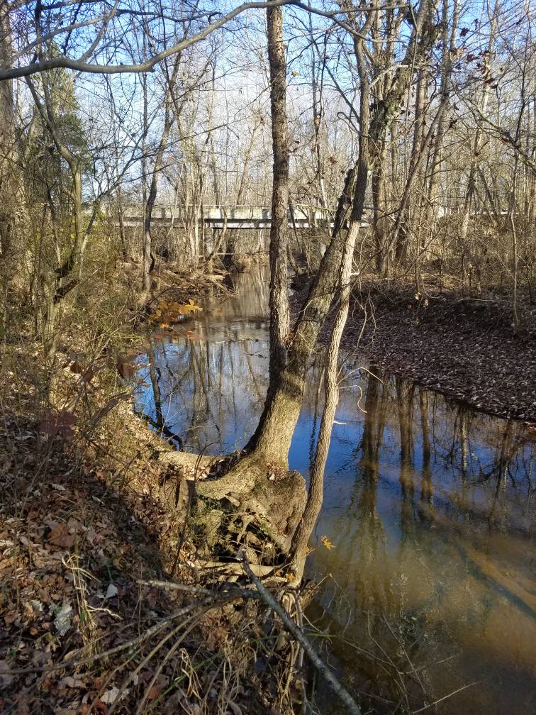
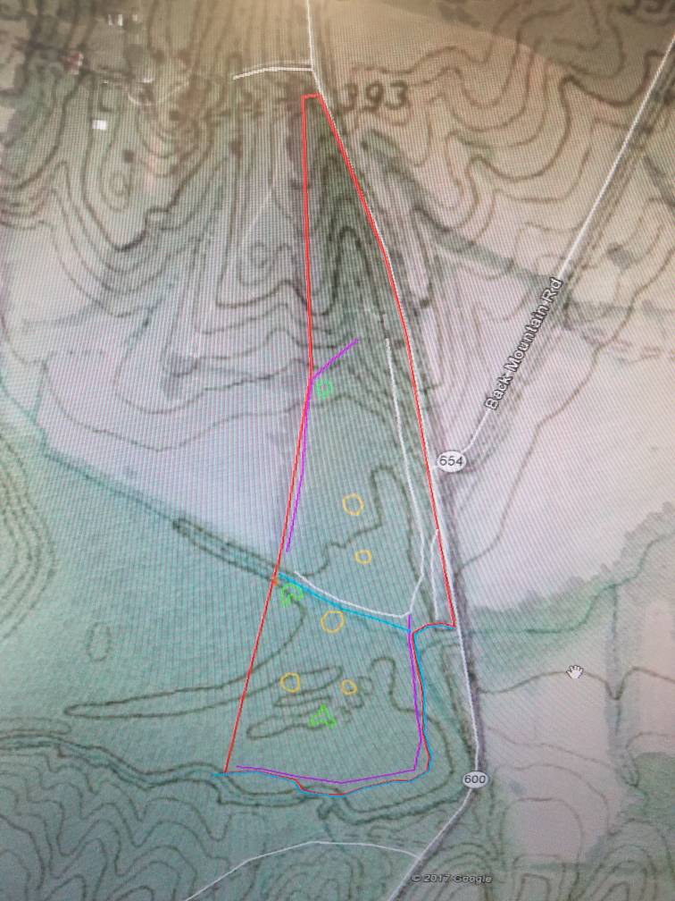
So I just put in an offer on a property that I discovered (after doing some research) is part wetland as well as minimal flood zone due to proximity to a small river. There is a single wide on the higher elevation part of the property that is outside of the flood zone/wetland so there is no concern about a future home site or option to sell to a future buyer. It has a well and septic too so those are not a concern either. Now to the questions I have, for those of you that own or have experience with these types of properties, are there any issues or regulations to be concerned with? Would i be able to modify the landscape or cut trees down/timber harvest? Create small food plots? It falls under the PFO1A designation if any of you are familiar with that. We will have a study period of 45 days so if anything is not to my liking I can back out. Just want some opinions from those who have experience with these types of properties.
Sent from my SM-G930V using Tapatalk
Sent from my SM-G930V using Tapatalk