Satellite imagery for identifying crop fields?

pinetag

Well-Known Member
So let me start by saying I'm not a technological dummy and i usually have pretty good luck when doing my own online research but or some reason trying to find a good, user friendly site to help identify crop/agriculture fields is not yielding great results for me. I just want to be able to identify some places around that you can't necessarily drive to (ie private roads). Most of the local farms that are visible from the road are cattle pastures but based on sat imagery, I think some of the "hidden" fields look like they might be used for crops. A lot of info was listed under the NASA and USGS websites but maneuvering through them did not seem very intuitive to me. Anybody know of a good option that is user friendly as well as free?
 
Not an end all, beat all, but I use Google Earth a lot and more specifically, I utilize the historical imagary feature. It often shows pics taken over different months (over several years) which SOMETIMES shows aspects of field that define crop usage/harvest.
For instance, an Iowa farm we hunt used to be mostly CRP, and our knowledge of movement patterns was predictable. The CRP contract expired and it was converted to crops and the deer patterns changed dramatically. GE imagery clearly showed the converted area.
And while not a 100% thing, many farmers are now rotating beans...corn...beans...corn, etc. If you identify thru GE image, a corn field grown "X" year, you can often predict what the rotation will be in following years. The rotation doesn't always follow suit, but it definately helps in identifying that it is indeed a field in some sort of rotation.
 
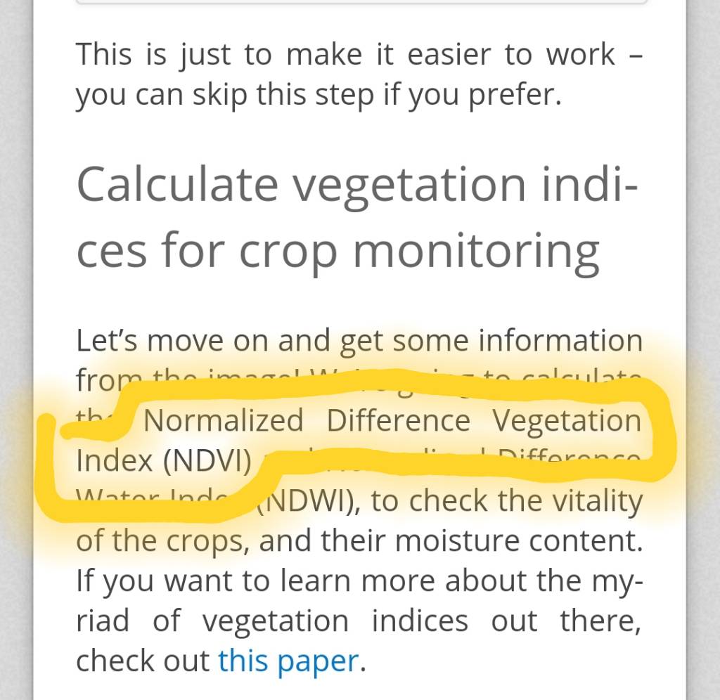
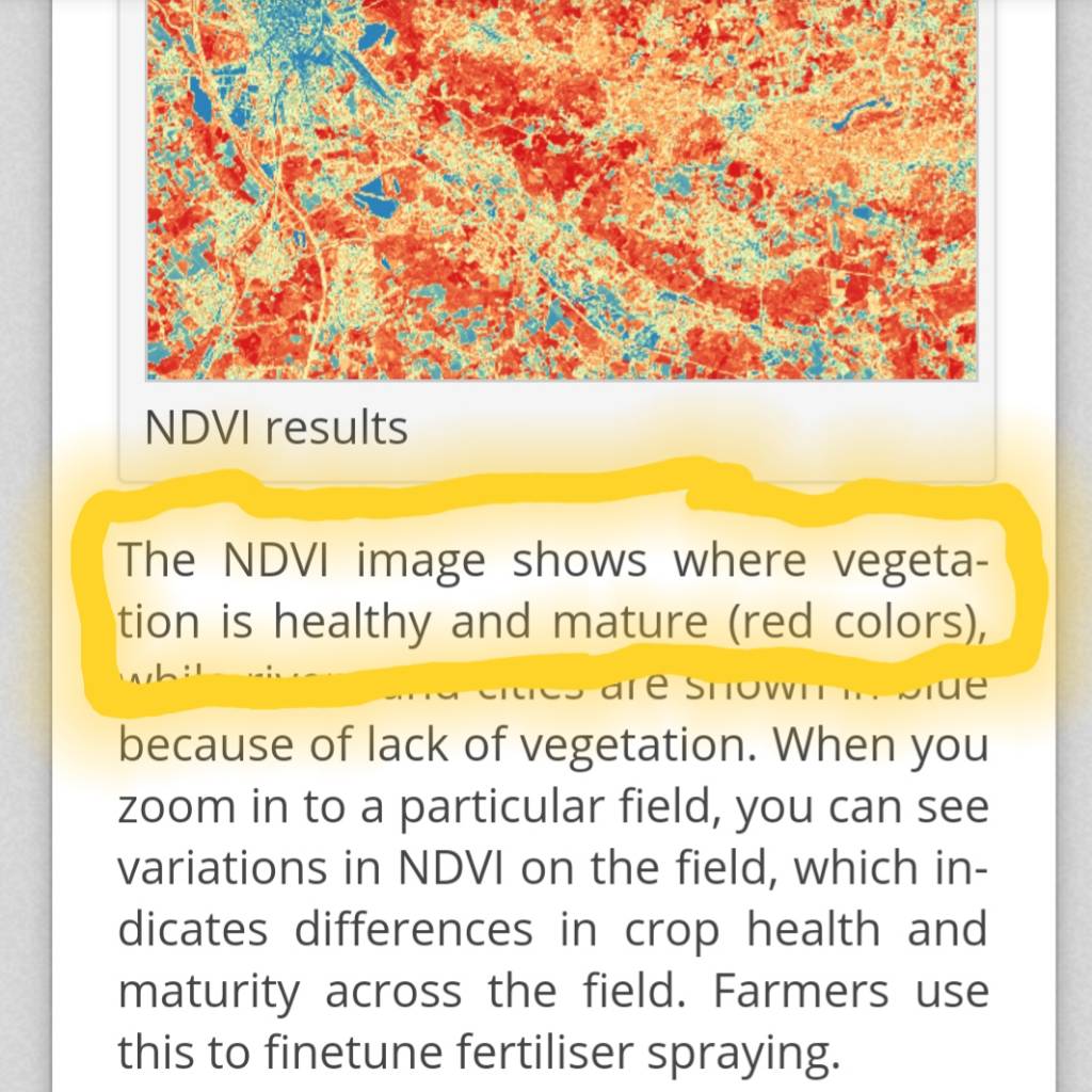
Wow, I think that's what I'm looking for! Am I interpreting this correctly where the red/orange color designates active cropland?


Sent from my SM-G930V using Tapatalk
I have no idea, honestly. But it's pretty neat.
 
I did a little bit more research and I think my assumption is correct so thanks again Laker!
a4f32c3aef1dcb0eaa0e75fe67456b06.jpg
53f252de3e794454fde21f73b0465c9d.jpg


Sent from my SM-G930V using Tapatalk
 
Pretty cool link. However may be relative to an area as my farm shows as the main agriculture piece in the area while ignoring the 30ac of corn and alfalfa adjacent to me. And my fallow fields show the most as ag crop. Maybe I'm on to something. LOL.
 
Back
Top