BenAllgood
Well-Known Member
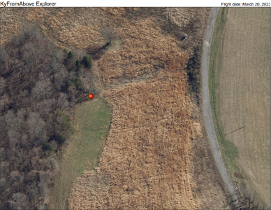
Ever since I was a kid, I've loved maps. Kentucky has released 3" high resolution for the entire state. It doesn't compare to drones, but it's still pretty cool.
Here's the link to the site for Kentucky https://explore.kyfromabove.ky.gov/ It's called "Oblique Imagery", so it may help you locate similar projects for your state.

Here's the link to the site for Kentucky https://explore.kyfromabove.ky.gov/ It's called "Oblique Imagery", so it may help you locate similar projects for your state.

