Anyone hunting in southeast Virginia?? Experienced at reading topo maps?

Rook1

New Member
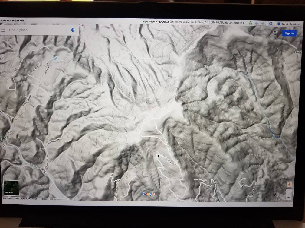
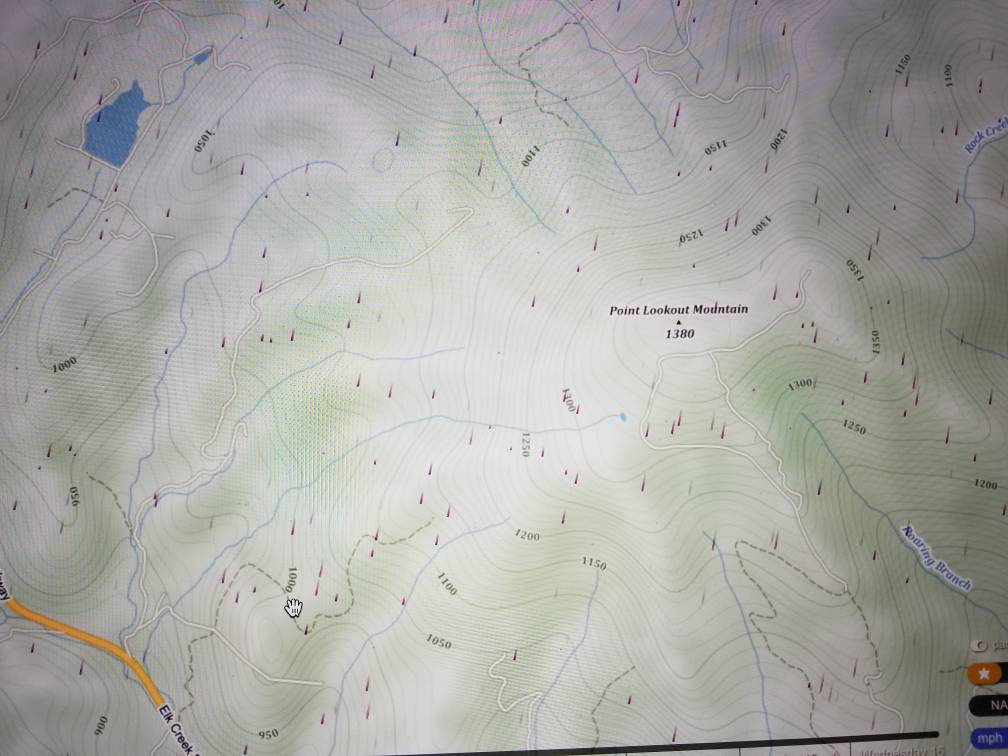
Hello all- Let me start by saying I'm new to deer hunting and would love to connect with some experienced hunters in the Hampton Roads area. Not really looking to link up with hunt clubs for reasons I can explain later. In any event, I'm doing some scouting via the net and am trying to teach myself how to read these maps and could benefit from getting some insights from someone with experience in that area. I'm likely to hunt public land, so I'm looking for spots quite a distance from any parking areas and want to target 2 or 3 potential locations to walk soon. Message me.
 
Try not to get so caught up on the "go in as far as you can and get away from everyone" strategy. Sometimes good spots are close and overlooked. As far as topo maps, it's pretty easy. Closer the lines, the steeper it is. Look for saddles. They kinda look like two letter U meeting. Benches are good too.

Good luck.
 
Topo maps can provide a lot of insight especially where there's lots of relief. Southeast Virginia is subtle. Too much to get into here. But, I would suggest you would be better served by looking at aerial (satellite) imagery. Learn what different terrain looks like. You can see areas that have been clear cut and see the stage of regeneration, managed or not. You'll also see cropland in relation to those areas of great cover. How you snap all of it together is where the fun starts!
 
If you are new to deer hunting and are going to hunt public land check the VDGIF website for any draw/lottery hunts that may be in your area.
 
Go on Google Earth, then select "View in maps", then select "Terrain". It will show an uncluttered view of the terrain. You'll be able to easily see the shape of the land. Ridges, valleys, saddles and flats will be plain as day. If you compare the terrain image to the satellite image, the topo interpretation will be easy.

And viewing the terrain image makes wind predictions easier, too. You'll be able to visualize where the wind will eddy with a given wind direction and where the wind will be more stable. Wind eddies are difficult to hunt.
 
Here's a shot of Google Maps Terrain of an area in the SW part of Virginia. I chose to show a more mountainous area of Va than the coastal region. Eastern Va is pretty much flat and topo features don't really apply.
This terrain image shows the contour lines on a map with relief shading. It's pretty easy to visualize what contour lines mean on a topo map.
I find this type of map very useful for predicting what surface winds will do in relation to a given prevailing wind direction. Combine this type of map with windy.com wind forecasts and you'll be amazed at how much better you understand why wind does what it does in hilly terrain.
ca5e1272ed51a95cd93b4db7a75491a2.jpg


Sent from my SM-G935V using Tapatalk
 
Last edited:
Here's the same area shown on windy.com
The little purple lines show what the current prevailing wind is doing (on the windy site the purple lines are animated).
Those lines are not true surface wind behavior which is effected by terrain. By knowing the prevailing wind direction, in relation to terrain, then actual surface wind behavior is easier to predict.
Knowing how to read contour lines on a topo map is an essential skill for proper stand locating.
b69a3a18173240f0f9799c79fd7b283c.jpg


Sent from my SM-G935V using Tapatalk
 
Back
Top